Data of interest
National Park of Ordesa and Monte Perdido
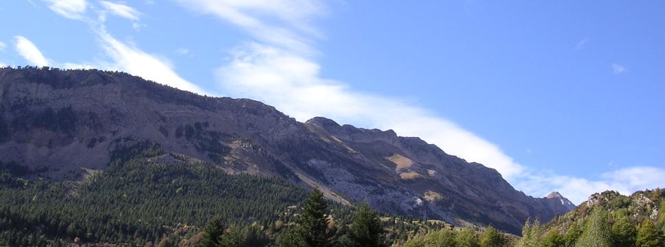
The extreme aridity of the highland areas, where rainwater and snowmelt seeps through cracks and sinks, contrasts with the green valleys covered with forests and meadows, where the water forms waterfalls and through canyons and ravines.
- Declaration date: August 16, 1918. Reclassification: Law 52/1982 of July 13.
- Area: 15,608 hectares
- Coordinates: 42 º 40'18'' N 0 ° 3'20'' E
- Phone: (+34) 974 243 361
- Networks supranational Biosphere Reserve (1977). Diploma of the Council of Europe to the Stable (1988, 1993, 1998)
- UNESCO World Heritage (1997). ZEPA (1988)
- Letter of Cooperation between the National Park of Ordesa and Monte Perdido, and Parc National des Pyrénées in France.

